The full guide
Read straight through, or use the fishing notes above to keep marks, tides and tackle easier to follow.
For most beach fishing the best tide is a rising one: the first two or three hours of the flood, and the hour either side of high water, are when fish move in to feed on food stirred up by the advancing water. Rock marks, harbours and estuaries each have their own best state of tide, so the real answer is to match the tide to the mark rather than the other way round. Below we explain what causes tides, spring and neap tides, the rule of twelfths, how flood and ebb change where fish feed, how to read a tide table including chart datum and the GMT and BST trap, and how to avoid getting cut off.
Useful starter kit
Friendly tackle picks chosen to make the guide easier to put into practice.
What causes tides, and why do they change every day?
Tides are caused mainly by the pull of the Moon on the oceans, with the Sun adding a smaller pull of its own, a bit under half the Moon's. Around the UK we get two high waters and two low waters most days, with high tides roughly every 12 hours 25 minutes. That extra 25 minutes is why high water comes about 50 minutes later each day. If the tide was perfect for your mark at 6pm on Saturday, by the following Saturday it will be near midnight.
Tides follow a timetable more reliable than most trains, as the RNLI puts it, which is good news for anglers. You can plan a session days or weeks ahead, then fine-tune it for the weather.
What is the difference between spring and neap tides?
Spring tides have nothing to do with the season. They happen when the Sun and Moon line up, around new moon and full moon, and in UK waters the biggest springs usually fall one to two days after. High water comes further up the beach, low water drops further down, and the water moves faster in between. Neap tides fall around the half moons, in the first and third quarters. The range is smaller and the currents are gentler. The cycle runs from springs to neaps and back roughly every two weeks.
For fishing, springs bring more water movement, more food washed out of the sand and rocks, and often more coloured water, which can switch fish on, especially bass and rays on surf beaches. The downside is strong run on rocks and estuaries, more drifting weed on your line, and much faster flooding of low-lying ground. Neaps are easier to fish: lighter leads hold, the water is often clearer, and harbours and estuaries are less of a torrent. Many anglers like the middle of the cycle, two or three days either side of the biggest springs, as a good compromise.
Springs are also when people get cut off. The RNLI warns that on bigger tides, places get cut off more quickly than normal, and spots that are usually safe can be cut off too.
What is the rule of twelfths?
The rule of twelfths is a rough guide to how fast the tide rises or falls between low and high water. Split the six or so hours into six parts. In the first hour the water moves 1/12 of its total range, in the second 2/12, in the third 3/12, in the fourth 3/12, in the fifth 2/12 and in the sixth 1/12. So the tide is slow at the turn and fastest in the middle two hours.
Here is a worked example with made-up figures. Say low water is 0.6m and high water is 5.2m, a range of 4.6m. One twelfth is about 0.38m. The tide rises roughly 0.38m in the first hour, 0.77m in the second, 1.15m in each of the third and fourth, 0.77m in the fifth and 0.38m in the last. Half of the whole rise happens in hours three and four. That is the window when a gully behind you can fill surprisingly fast.
It is only an approximation, because each half of the tide lasts a little over six hours and some harbours and estuaries have lopsided tides. Use it to understand the pace of the water, and use the tide graph on a proper prediction service for anything that matters.
Is flood or ebb tide better for fishing?
The flood is the rising tide, from low to high water. The ebb is the falling tide, from high back to low. Slack water is the short pause at the top or bottom when the water barely moves.
On most open beaches the flood is the better half. As the water pushes back over sand that has been dry or shallow, it lifts worms, crabs, sandeels and shellfish and sweeps them about in the surf. Fish such as bass, flatfish, rays and dogfish follow the tide in to feed on them. That is why so many beach anglers aim to arrive an hour or so after low water and fish up to and over the top. The first couple of hours of the flood often bring the first bites, and the hour either side of high water is often the best spell of all, especially if it coincides with dusk.
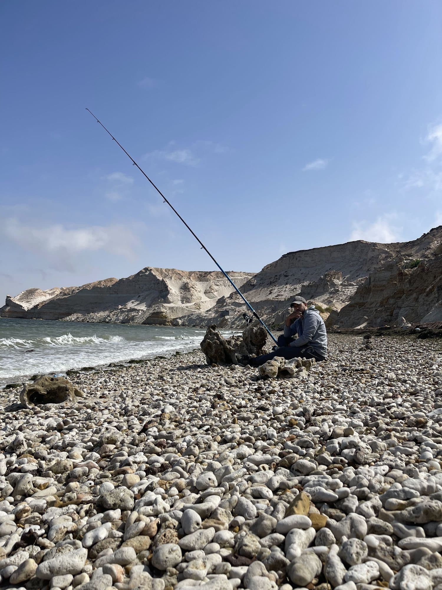
The ebb can fish well too, particularly the first hour or two after high water, as food is drawn back down the beach. Steep shingle beaches, where deep water is close in, often fish through most of the tide. Use low water to walk the beach and note the gullies, sand banks and patches of rock, because those are where fish will feed once they are covered. Our guide to fishing from a beach covers reading the surf in more detail.
Best tide for rock marks, harbours and estuaries
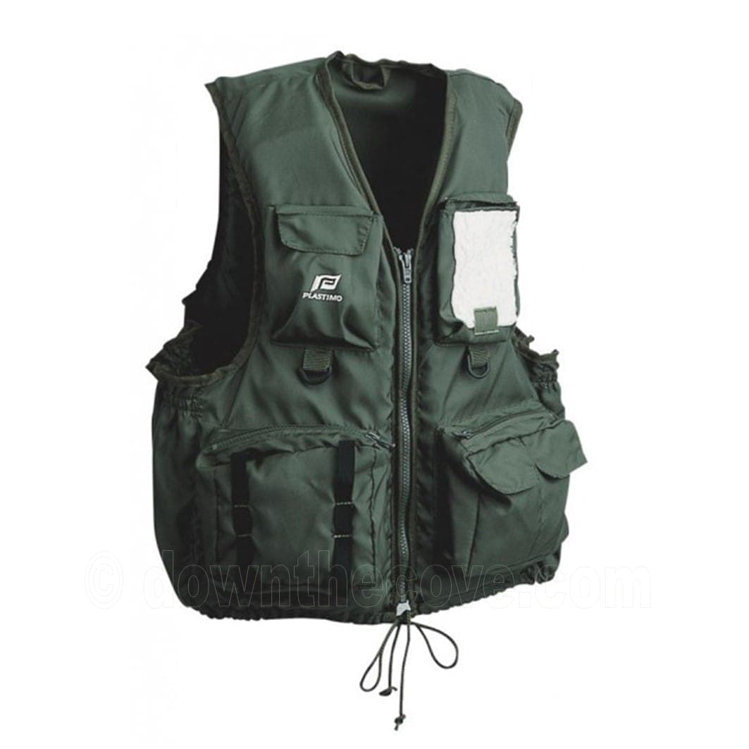
Rock marks: many rock marks have deep water at their feet at any state of tide, so the tide matters less for depth and more for access and current. Some fish best around high water when the kelp edges are covered and wrasse and pollack move up; others fish best on the ebb when a tide race forms off a point. The tide also decides whether you can get to the mark and back. Plenty of good Cornish ledges are only reachable for a few hours either side of low water. Wear a buoyancy aid such as a 50N fishing buoyancy aid waistcoat on rocks, and read our rock and cliff fishing guide and lifejacket or buoyancy aid guide before you go.
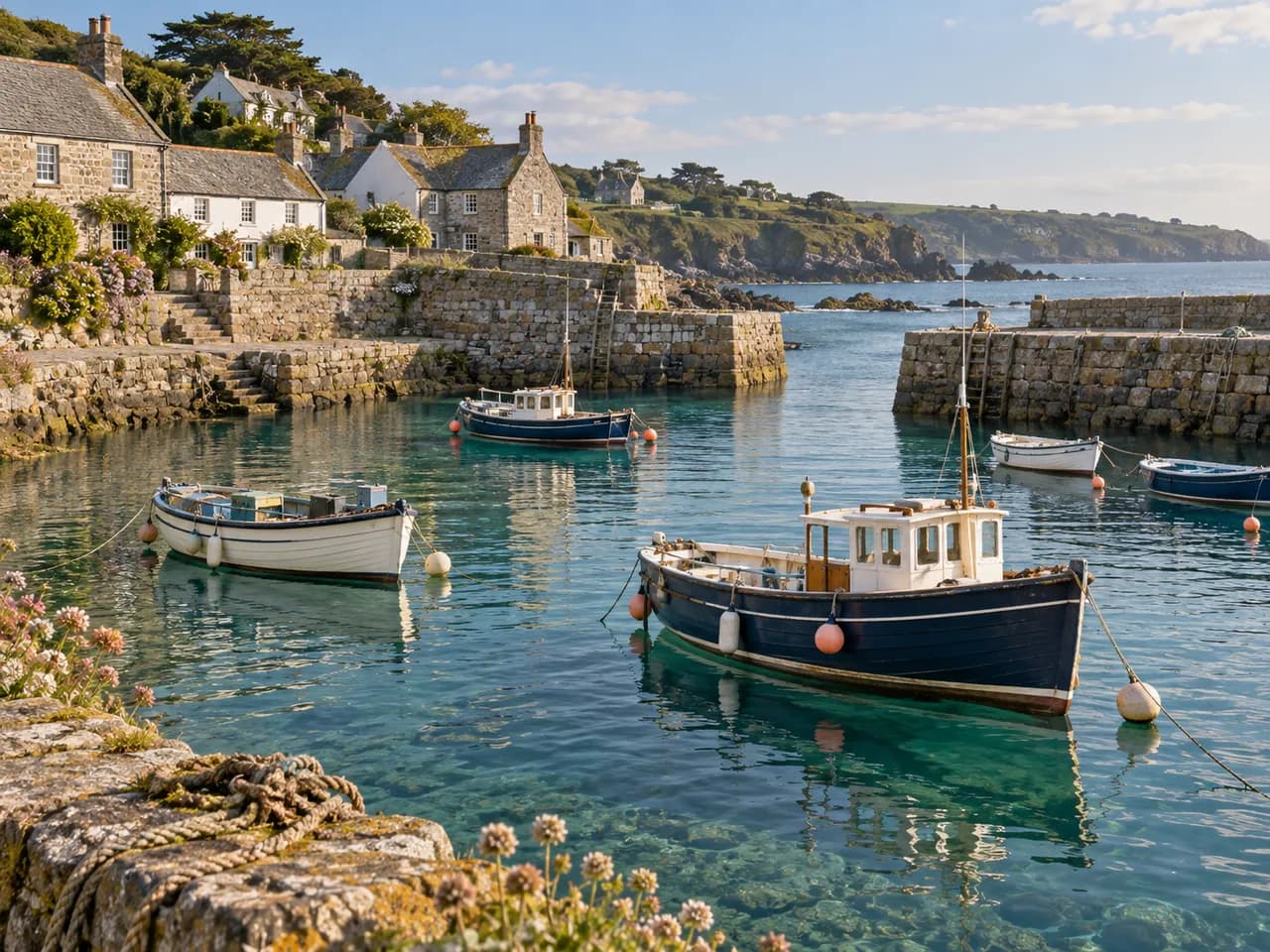
Harbours: many Cornish harbours dry out, or nearly so, at low water, as the boats sitting on the sand show. Fishing is usually best from about half flood to half ebb, when there is enough depth off the wall and mullet, mackerel, pollack and wrasse come in. At low water you may be casting onto mud. See fishing from a harbour wall for marks and methods.
Estuaries: these are tide-driven places. Flounder and bass often push up the estuary with the flood, feeding over mud and sand banks as they cover, then drop back on the ebb. The flood often fishes well from the upper banks, while the ebb can be good near the mouth where food is flushed out. The current can be very strong on big springs, and mud flats can flood around you quickly, so fish from firm ground you know and never wade out across banks on a rising tide. Our flounder and bass fishing guides go into the detail.
How do you read a tide table?
A tide table gives the times and heights of each high and low water for a named place, usually a harbour, on each day. A line might read HW 06:12 5.2m, LW 12:31 0.6m. That means high water is at 06:12 with the sea 5.2 metres above chart datum, and low water is at 12:31 at 0.6 metres.
Step 1: pick the nearest station to your mark, not just the nearest town. Times can differ by tens of minutes along the same stretch of coast, and heights can differ too. Our tide times page uses official UK Hydrographic Office ADMIRALTY predictions for hundreds of stations around the UK, so you can save the one closest to your beach or rocks.
Step 2: check the time zone. ADMIRALTY predictions are calculated in GMT, and the EasyTide service lets you add an hour for British Summer Time but warns that it will not switch back automatically. UK clocks go forward on the last Sunday in March and back on the last Sunday in October. A table read in the wrong time zone puts you an hour out, which can be the difference between a safe walk back and being cut off. Always check what the table you are using says at the top.
Step 3: understand the heights. Heights are measured above chart datum, which in the UK is roughly the level of the lowest astronomical tide. It is not average sea level, and it is not the height above the beach. A low water of 0.3m is a very low spring tide that will expose ground you rarely see. A low water of 1.8m is a neap that barely drops.
Step 4: work out the range. Take the low water height away from the high water height. A big range means springs, fast water and big changes on the beach. A small range means neaps.
Step 5: plan your session around it. Decide which part of the tide your mark fishes best, when you can safely reach it and, most important of all, when you must leave.
How do weather, swell, dawn and dusk change things?
Tide tables are predictions based on the Moon and Sun. They do not include the weather. The UK Hydrographic Office notes that wind and air pressure can significantly change the real tide, and that a pressure difference of 34 hectopascals from average can change the height by about 0.3m. Low pressure tends to raise the sea, high pressure tends to lower it. Strong onshore winds can push water further up the beach, and a storm surge can add much more. In a deep autumn low with a big spring tide, expect the sea to come higher and faster than the table says.
Swell matters as much as tide on Atlantic-facing Cornish marks. A moderate swell on a surf beach can be perfect for bass, but a big groundswell on a rock ledge is dangerous at any state of tide, and waves reach much higher on a spring high. Our Cove Conditions planner puts the local tide, wind and weather side by side for the day, and the Met Office coast and sea forecasts are worth checking too. If the sea looks wrong when you arrive, fish somewhere sheltered or go home.
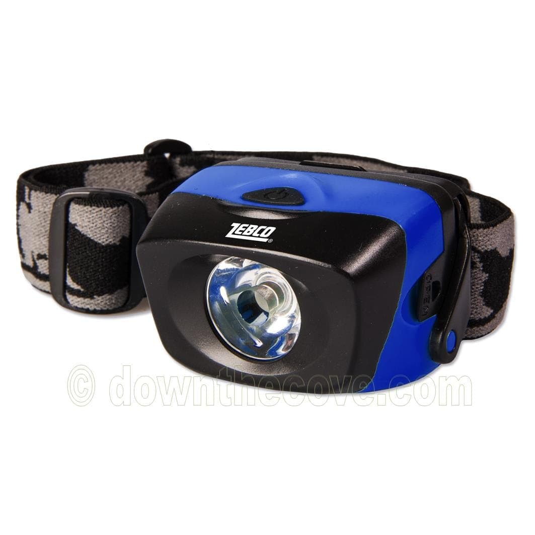
Light is the other big factor. Many fish feed harder at dawn and dusk, and bass, rays, sole and conger often come closer in after dark. When a rising tide coincides with dusk, it is one of the best times to be on a beach. Take a good head torch such as a waterproof LED head lamp and read our guide to night fishing from the beach. For what is about each month, see our Cornwall shore fishing calendar.
How do you avoid getting cut off by the tide?
Getting cut off by the tide causes a significant number of RNLI rescues every year, and anglers are in the thick of it because the best marks are often round a point or out on a ledge. The UK has some of the biggest tidal ranges in the world, with the depth changing by as much as 10 metres in some places.
Step 1: before you go, check the tide table for the right station, in the right time zone, and note the range. If you do not understand the table, ask locally: a harbour master, tackle shop or lifeguard.
Step 2: walk the route at low water and look for the point where the sea will close it first, often a gully or the foot of a headland. That point, not your fishing spot, sets your leaving time.
Step 3: set a hard leaving time well before that route floods, and stick to it even if the fish are biting. On a big spring tide in a rising wind, leave even earlier.
Step 4: tell someone where you are going and when you will be back, and carry a fully charged phone in a waterproof pouch.
Step 5: if you are cut off, do not try to wade or swim back. Get as high and dry as you safely can, and call 999 and ask for the Coastguard. If you end up in the water, the RNLI's Float to Live advice is to lean back, with your ears in the water, and float on your back like a starfish until your breathing settles. The RNLI's tide safety page and our coastal safety guide have more.
Quick checklist: picking your tide
Beach: fish from an hour or so after low water, up to and over high water, and add dusk if you can. Rock mark: choose by access and current, and work back from when you must leave. Harbour: half flood to half ebb. Estuary: follow the flood up the banks, fish the ebb near the mouth.
Read the table for the nearest station, check GMT or BST, and note the range. Mid-cycle tides are a good compromise. Check wind, pressure and swell on the day. Set your leaving time by the first part of the route to flood. If you are cut off, stay put and call 999 for the Coastguard. A pocket guide such as Go Sea Angling is handy to keep in the tackle bag, and our guide to choosing a fishing location helps you match the mark to the day.