
Details
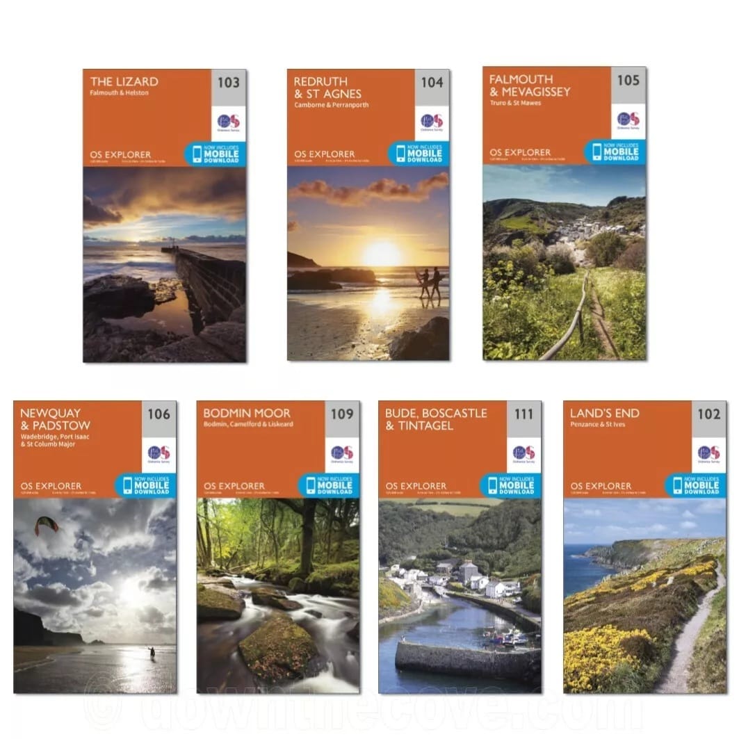
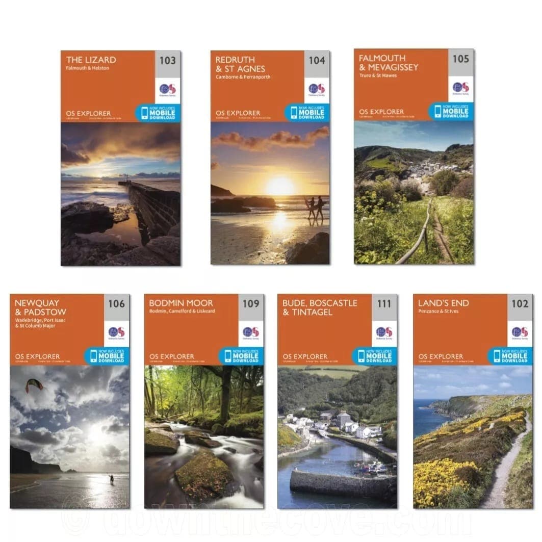
Pick the Ordnance Survey Explorer map for the part of Cornwall you're heading to. Each one is at 1:25,000 (4cm to 1km, or 2.5 inches to the mile) for walkers, cyclists and holidaymakers, and includes a mobile version of the map.
Between them, the maps take in places such as Mousehole and Cape Cornwall, Lizard Point and Mullion Cove, the Lost Gardens of Heligan, the Camel Trail, Bodmin Moor and Tintagel Castle, with the South West Coast Path running through many of them. Each folds to 134 x 240 x 8mm.
Specifications
Every review is shown, low scores included. The breakdown chart appears from 10 reviews.
FAQs
Two do. 103 The Lizard covers Falmouth, Helston and the Lizard, and 105 Falmouth & Mevagissey covers Falmouth, Truro, St Mawes and Mevagissey.
102 Land's End, which also takes in Mousehole and Cape Cornwall.
Still deciding?
We are a family-run shop in Mullion, Cornwall. Ask us anything before you order.
Send us a message support@downthecove.comDelivery and returns
Packed and posted from our shop in Mullion, Cornwall.
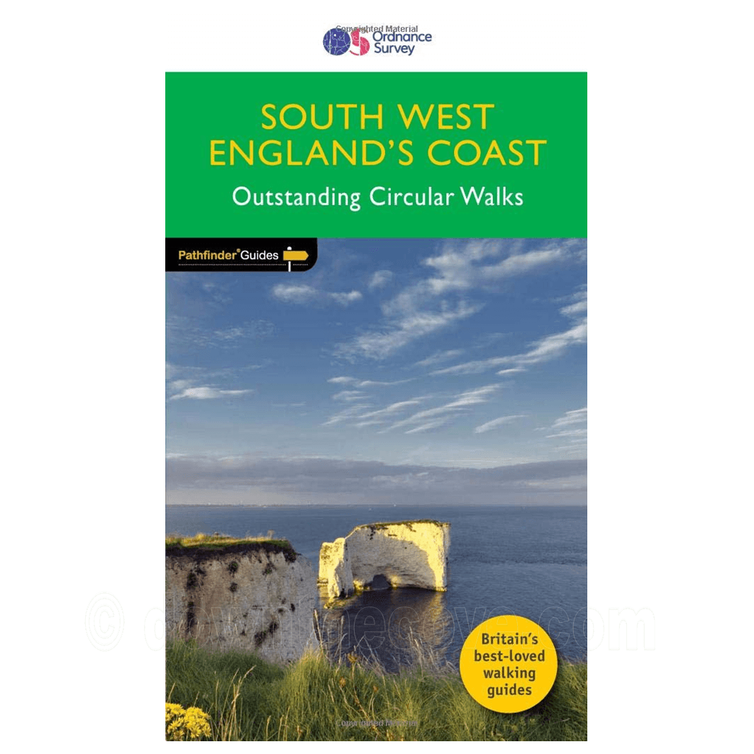
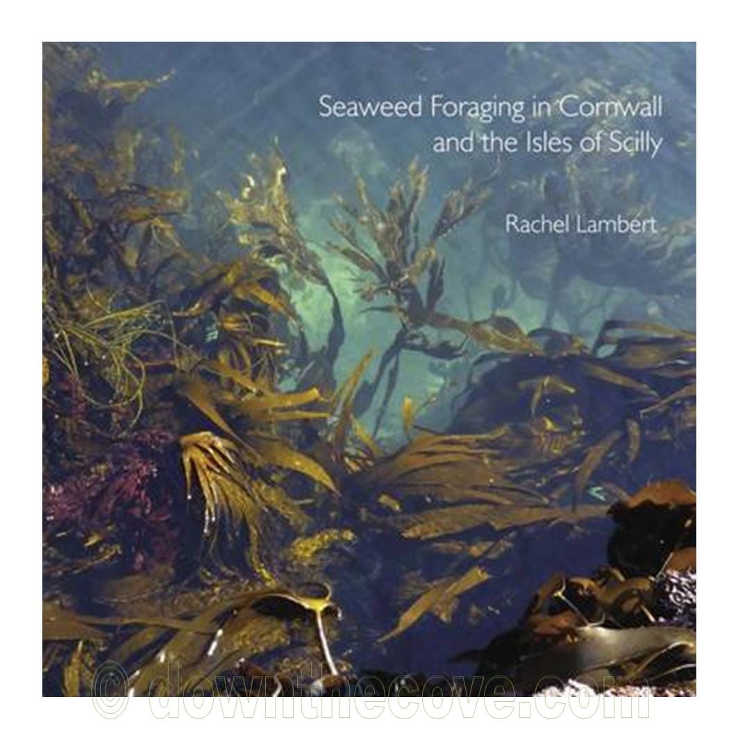
For the coast path
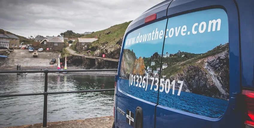 Mullion Cove
Down The Cove · Mullion, Cornwall
We donate 1% of all profits to Compassion UK, supporting its work with children and communities facing poverty: clean water, healthcare and education. Compassion UK is an independent charity. Visit Compassion UK