Coastal
A good map is where every coastal adventure starts, whether you're walking a chunk of the South West Coast Path or simply wondering what lies round the next headland. Our small, well-chosen selection covers the essentials, from detailed walking mapping to prints for the wall, so you can plot a route or bring a stretch of coastline indoors.
Walkers want detail. The A-Z South West Coast Path Atlas Map Guide folds Ordnance Survey Explorer mapping into a handy book with the trail clearly marked, which beats wrestling a big sheet in a clifftop wind. Prefer traditional sheet maps for wider planning? OS Explorer Maps for Cornwall use the 1:25,000 scale walkers trust, showing footpaths, access land and contours clearly. Reach for these alongside our coastal walks & guides when you're deciding where to head, and pick a route to match your group's legs and the forecast.
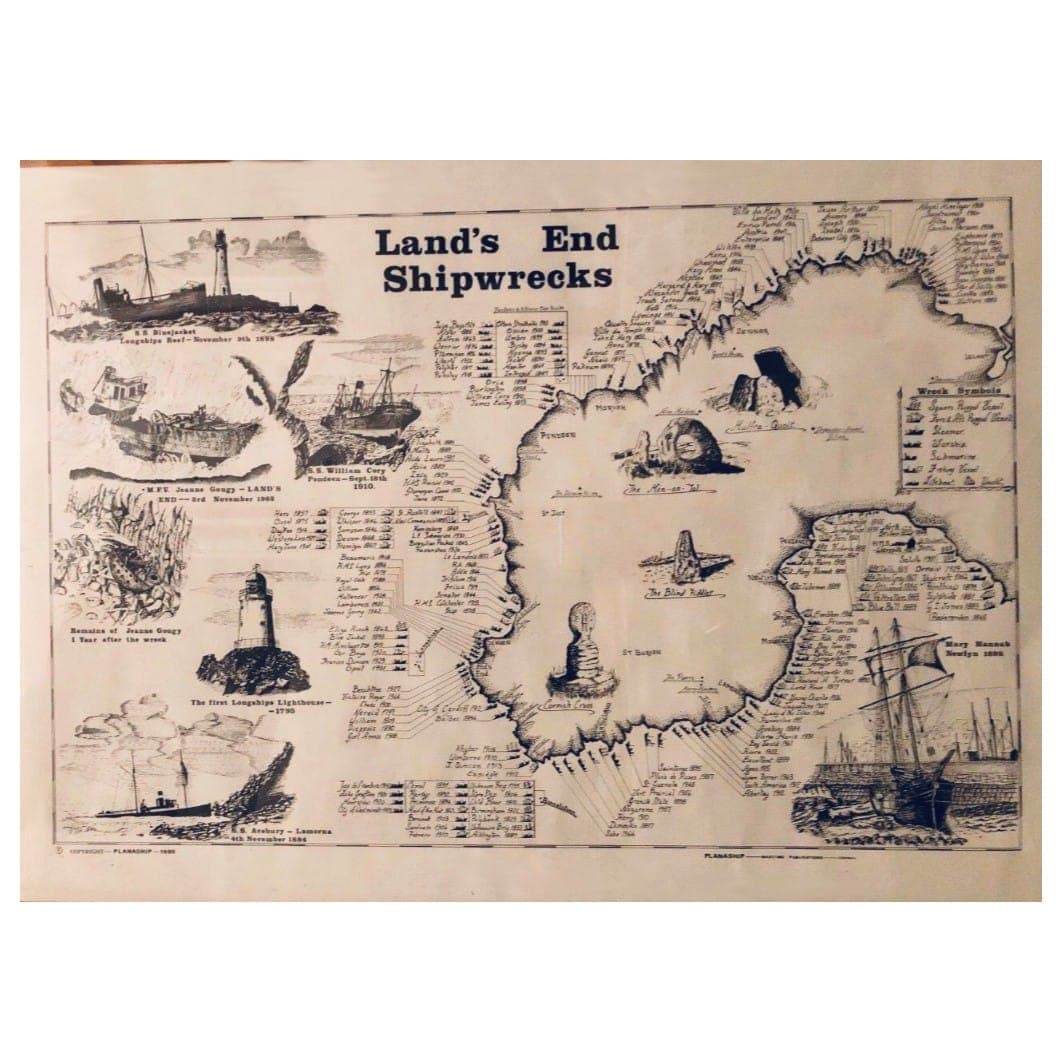
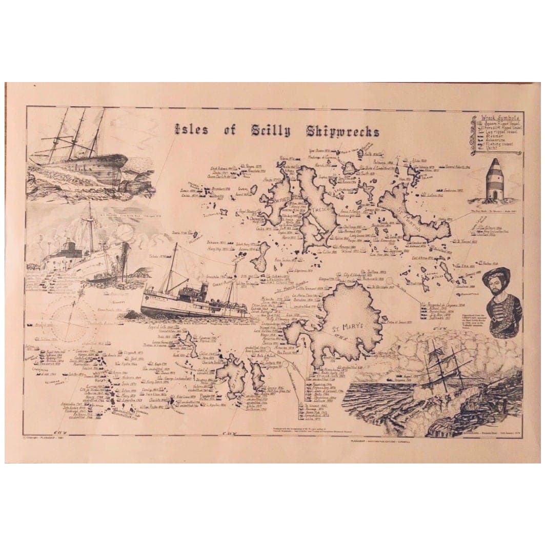
For the wall, the Planaship Lands End and Isles of Scilly shipwreck map prints make a striking feature in any coastal home, and a thoughtful gift for anyone who loves the sea. When it's time to choose where to walk, browse the places we love along Cornwall's coastlines for ideas, then zero in: the path around Sennen near Land's End is a glorious, easygoing way into the far west, with big skies and a beach at the end of it. Pair your map with sensible footwear, check the tide and weather before you head off, and explore at your own pace.