

Details
About the Planaship Isles of Scilly Shipwrecks Map Print, 63 x 45cm
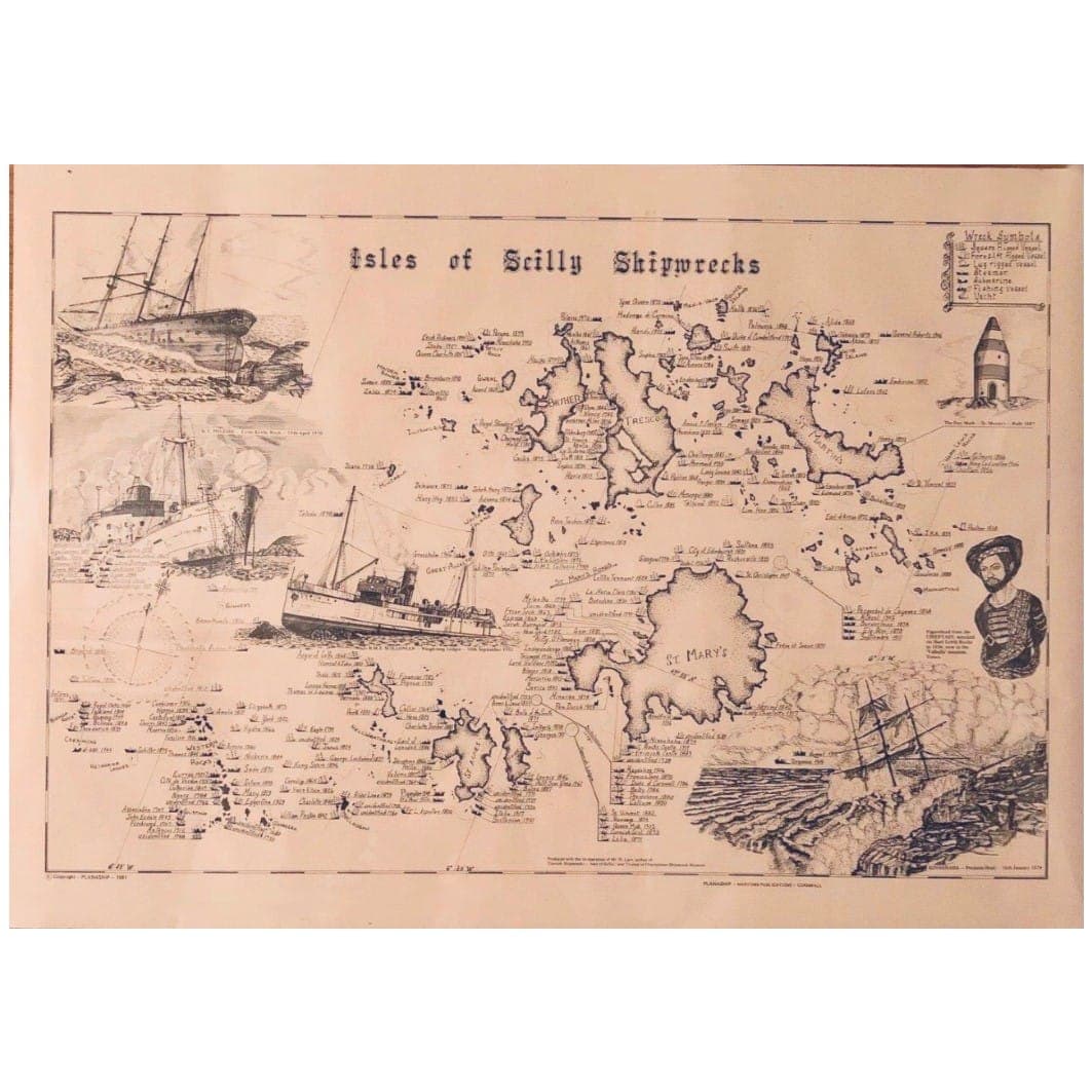
The Isles of Scilly lie off Land's End, at the western entrance to the English Channel, and their ledges have claimed ships for centuries; Visit Isles of Scilly counts more than 500 registered wrecks. The best known is the loss of Sir Cloudesley Shovell's fleet on the Western Rocks in 1707: his flagship HMS Association and three other ships went down, and around 1,400 men died. In 1875 the liner SS Schiller was wrecked on the Retarrier Ledges. This Planaship Isles of Scilly Shipwrecks print charts many of Scilly's wrecks on one map. Around St Mary's, Tresco, Bryher, St Martin's, St Agnes and the Western Rocks, well over a hundred tiny labels give a ship's name and year at its wreck site, so you can trace where they came to grief.
A 'Wreck Symbols' key explains the type of each vessel: square-rigged, fore-and-aft rigged, lug-rigged, steamer, submarine, fishing vessel or yacht. Around the map, pen drawings show ships aground on the rocks, a compass rose and the striped daymark tower on St Martin's, and a ship's figurehead from the Valhalla collection on Tresco.
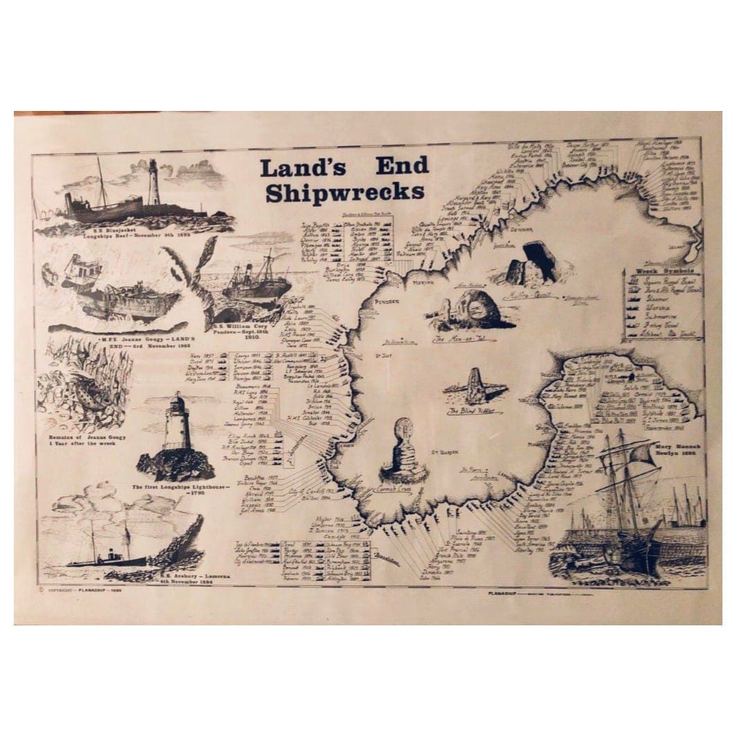
Planaship Maritime Publications of Cornwall published wreck charts from at least the early 1980s, and its series covers coasts from Land's End and the Lizard to the Goodwin Sands. We also stock the Land's End shipwrecks print, which makes a pair.
It measures 63 x 45cm, a little bigger than A2, so it isn't a standard frame size: choose a frame or mount cut to fit. It arrives rolled in a tube, ready for framing, and works as nautical wall art in a hallway, a study or a holiday cottage.
More of an Isles of Scilly shipwreck chart than a shipwreck poster, it's a gift for anyone who has stayed on Scilly, dived its wrecks or sailed its waters. It also suits maritime history readers who'll stand in front of it picking out names.
Wrecks named and datedAll around the islands.
Seven vessel symbolsFrom square-rigged to submarine.
63 x 45cmBigger than A2; frame not included.
Rolled in a tubeReady for framing.
Specifications
The details
Product typeShipwreck map print
PublisherPlanaship Maritime Publications, Cornwall
SubjectIsles of Scilly shipwrecks
Size63 x 45cm
PrintLine drawing on thick parchment-style paper
KeyWreck symbols for 7 vessel types
FrameNot included
PackagingRolled in a tube
SKUSDL18734
Not for me
I like it, but the size is worth checking before buying. The delivery side was fine, but the item itself was the letdown.Proper useful
The print suited the hallway nicely.fine
Good coastal look not tacky. It ended up on the holiday let, which was exactly the sort of spot it for.Average
Okay, does what it says.Every review is shown, low scores included. The breakdown chart appears from 10 reviews.
FAQs
Questions about the Planaship Isles of Scilly Shipwrecks Map Print, 63 x 45cm
What size is the print?
63 x 45cm, a little bigger than A2 (59.4 x 42cm). That isn't a standard frame size, so choose a frame made to measure, or a larger frame with a mount cut to fit. Measure your wall space before you order.
What paper is it printed on?
Thick parchment-style paper, printed as a fine line drawing, which gives it the look of an old chart. Keep it out of strong sunlight once framed, as direct sun fades most papers over time.
Is a frame included?
No. It arrives rolled in a tube, ready to take to a framer or to put into a frame of your own. Let it lie flat for a day or two under something heavy before framing, so it relaxes after being rolled.
What does the Isles of Scilly shipwrecks map show for each wreck?
Each wreck has a small label with the ship's name and year, placed where it was lost, and a symbol for its type: square-rigged, fore-and-aft rigged, lug-rigged, steamer, submarine, fishing vessel or yacht, as the key explains.
How many wrecks are there around Scilly?
Visit Isles of Scilly counts more than 500 registered wrecks around the islands. The chart labels well over a hundred of them, from sailing ships to steamers, around every island and the Western Rocks.
Who makes it?
Planaship Maritime Publications, a Cornish publisher of wreck charts. Its shipwreck series also covers Land's End, the Lizard, North and South Devon, Dorset, the Isle of Wight and the Goodwin Sands. We stock the Land's End print too.
Still deciding?
Message our team
We are a small family-run shop. Ask us anything before you order.
Send us a message support@downthecove.comDelivery and returns
Before you order
Packed and posted by our own small team.
Tracked 48£3.50Free over £30Usually 2–3 working days
Tracked 24£4.50Free with Cove ClubAims for the next working day
Returns30 daysFree in the UKUnused and complete; start it from your order
Order by 3pm on a working day and it usually leaves the same day. Remote Scottish areas and the Isles of Scilly £14.95 · Europe £15 · rest of the world £25.DeliveryReturnsTrack an order
Complete your setup
Goes well with it
In stock today, picked to go with this one.
 Est. 2012
Down The Cove · founded in Cornwall, 2012
A small family-run shop with Cornish roots
- Order by 3pm on a working day and we usually dispatch the same day
- Questions answered by our own small team
- Cove Club members get free delivery and member discounts
- We donate 1% of all profits to Compassion UK
We donate 1% of all profits to Compassion UK, supporting its work with children and communities facing poverty: clean water, healthcare and education. Compassion UK is an independent charity. Visit Compassion UK