The full guide
Read straight through, or use the planning notes above to shape an easier coastal day.
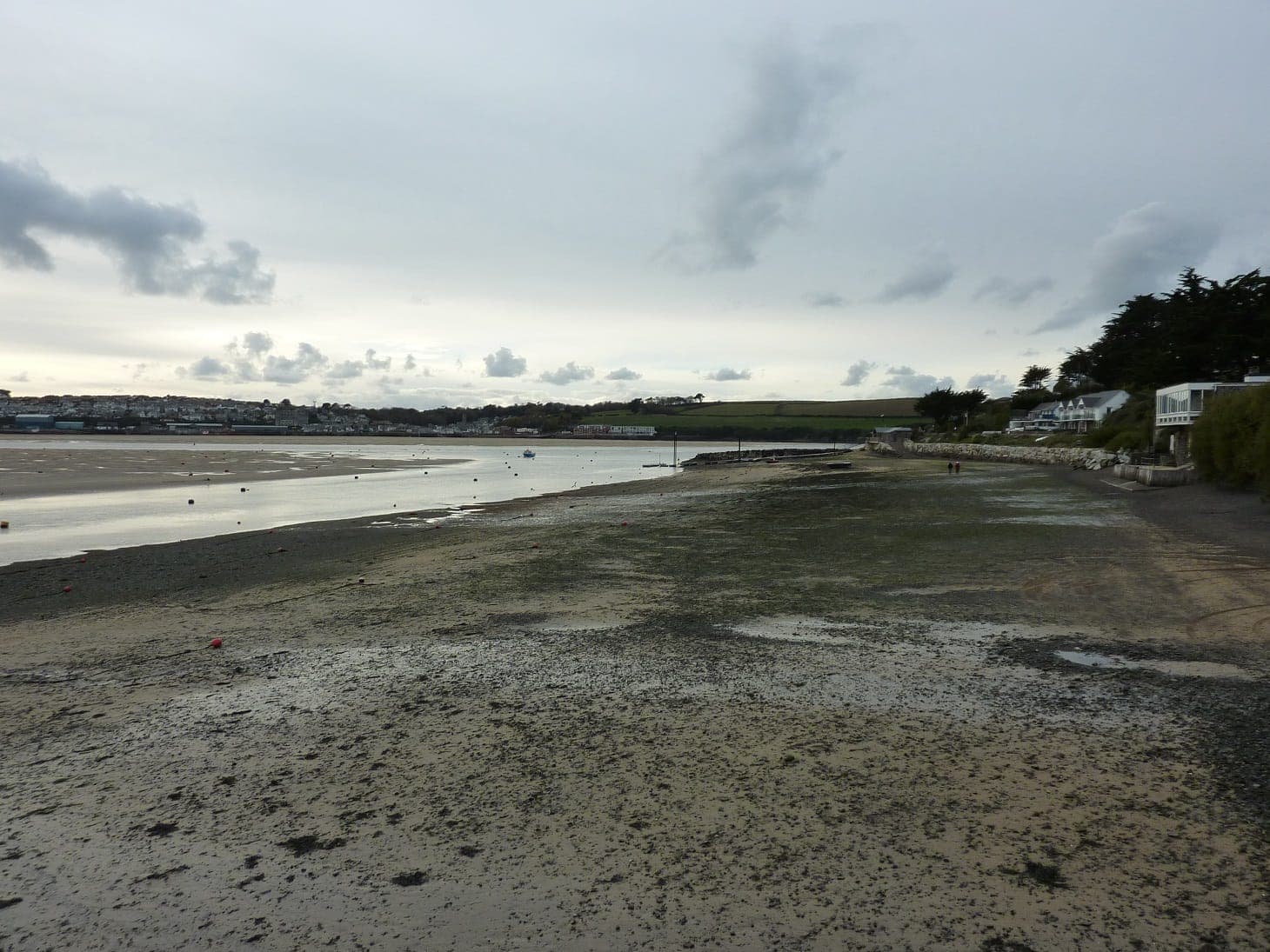
Situated in the Camel Estuary, Rock is a haven for boating and other watersports. The sand dunes to the west of Rock - The Rock Dunes - are a designated site of special scientific interest due to the geology and flora.
Sea Fishing in Rock area
This area is excellent for all types of flatfish including ray. Also good for bass fishing.
Rock RNLI
The Lifeboat
Rusper II – D class inshore lifeboat
The Lifeboat Station
Situated on the Camel estuary, the RNLI has operated a lifeboat station at Rock since 1988. Today’s D class lifeboat is a re-engineered and updated version of the original D class.
Common questions
- Where is Rock?
- Rock lies on the north Cornwall coast on the eastern bank of the Camel Estuary, directly opposite Padstow. Polzeath and Daymer Bay are close by, with Wadebridge a short drive upriver.
- What is Rock known for?
- Rock is known as a centre for sailing and watersports on the sheltered Camel Estuary, for its long sandy beach, and as a smart coastal destination sometimes nicknamed the 'Saint-Tropez of Cornwall'.
- What is there to do in Rock?
- You can sail, paddleboard, kayak or windsurf on the estuary, walk the sands to Daymer Bay, explore the protected Rock Dunes, or catch the ferry across to Padstow's harbour and restaurants.
- How do you get from Rock to Padstow?
- A passenger ferry runs across the Camel Estuary between Rock and Padstow, taking around ten minutes. It saves a long road journey around the estuary via Wadebridge.
- Are the Rock Dunes protected?
- Yes. The dunes to the west of Rock are a designated Site of Special Scientific Interest, valued for their geology and the variety of plants that grow among the sand.